Expo « La carte de France de Cassini. Une encyclopédie du territoire », aux Archives nationales
Le Musée des Archives nationales – L’Hôtel de Soubise — 60, rue des Francs-Bourgeois
- AudienceAll ages
- BookingNo booking needed
About
Automatically translated. Read the original French text. The source text has changed; this translation is awaiting an update.
In 2021 and 2025, the Institut national de l’information géographique et forestière (IGN) transferred to the National Archives the archive collection relating to the Academy's map of France, better known as the Cassini map of France.
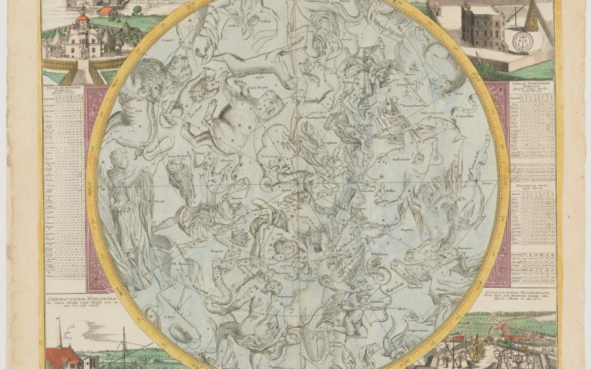
This remarkable collection consists of calculations, writings, draft sheets, as well as original copper plates and prints recounting the production and life of this map between 1750 and the 1950s. An exceptional collection that allows us to reveal today little-known aspects of a universally significant work; a work conceived by four generations of astronomers and cartographers: the Cassinis.
The art of science
The first map surveyed "geometrically" on the scale of an entire country, the Kingdom of France, at that time the most powerful and populous in Europe, its achievement is admirable in more ways than one. It is, first of all, the fruit of continuous state will which, with Louis XIV and Colbert, Louis XV then Bonaparte, decided upon and sustained the project; even though, from 1756 to 1793, a private company partly funded it. It involved the use of innovative scientific techniques, in both method and instruments, linking it to the founding of the Academy of Sciences in 1666 and the Paris Observatory in 1667. It was born of the constancy of scholars who carried it through until 1815, alongside the dynasty of the four Cassinis from 1669 to 1793. It was the result of fieldwork followed by rendering through engraving, both meticulous, standardized, sometimes arduous, and of very long breath, from the surveys of Abbé Picard in 1668 to the last verified surveys in 1790. It is extraordinary, finally, in its final physical deployment, in space of course since the 181 assembled sheets measure over twelve meters high by eleven wide; but also in time, because from the first work in 1668 to the final use of the copper plates in the twentieth century, nearly three centuries elapsed!
An extraordinary adventure
The construction of the Cassini map of France constitutes a true epic. From astronomer to bookseller, including cartographic engineer, verifier or engraver, every trade had to work with great precision and in accordance with the instructions detailed by Cassini III in 1744 in his Description géométrique de la France. Surveys, toponymy, calculations, drawings, signs… all stages were scrupulously followed. Objective lenses, telescopic graphometers, quadrants…, state-of-the-art instruments of the era were used.
This scientific fieldwork lasted more than 70 years before reaching completion in 1815. A titanic undertaking relying on a groundbreaking method: triangulation, which allows measuring distances with great precision by connecting fixed landmarks such as towers, bell towers, and hills.
Inhabitants were invited to collaborate, particularly to name the mapped locations. They sometimes did so with reluctance, because behind the "participatory" undertaking, they sensed the royal desire to better govern but also better control the realm. For science, however, these new working methods would make it possible to create the first comprehensive territorial map of France, a true territorial encyclopedia.
Prestige and posterity
This cartographic monument was distributed in remarkable material variety, from ordinary to most prestigious copies. The role of booksellers had great significance here. Some offered the map with a multitude of options: coloring, canvas backing, binding, slipcase, suspension rod…
The exceptional quality of certain copies displayed in the exhibition, including one on silk, reflects the prominence of their owners, such as King Louis XVI or Queen Marie-Antoinette. The sheer scale of the Cassini map of France was matched only by its enduring utility; the most notable being the creation of the Departments in 1790, for which it served as a cartographic foundation. Other administrative uses persist to this day, such as those concerning mill rights. Its contribution to contemporary environmental history and archaeology is equally essential. A scientific adventure of universal scope, an exceptional cartographic monument, the Cassini map of France became a model for Western cartography whose methods it renewed.
Where to book
FreeGetting there
DirectionsLe Musée des Archives nationales – L’Hôtel de Soubise
60, rue des Francs-Bourgeois, Paris
- M11Rambuteau6 min walk
- M1M11Hôtel de Ville de Paris - 4ème Arrondissement9 min walk
Stations: Île-de-France Mobilités
Full venue programme →Sources : Que faire à Paris · details last read on 14 November 2026